Clermont
finds
its roots in the pioneer town of Instanter, founded
in 1809 and located just north of the town water well. It essentially
disbanded during the War of 1812 over fears of pro-British Indian uprisings.
Coal was discovered by a surveying crew here, and the port at East Smethport
was built to facilitate its shipment. Arnold Hunter moved from
Instanter to Smethport to become its first resident, and David Comes moved
into the Norwich area, producing the first white child born in McKean County.
Another settlement which laid the foundation was Bunker
Hill, located along the Sergeant Township line north of Red Mill
Brook. Here PE Scull, an agent for land baron Jacob Ridgway, established
a stagecoach stop on the Milesburg-Smethport Turnpike. Adjacent to Bunker
Hill was the Clare Mont Farm, located along what is now Bloomster Hollow.
The Post Office became Clermontville, and later just Clermont.
And, closer to present-day Clermont, in 1843 450 Germans established
the Society of Industry. This had two towns, Teutonia
and Ginalsburg. Teutonia was located just west
of the town water well, while Ginalsburg was located along the Milesburg-Smethport
Turnpike (Wilcox-Clermont Road) one mile west of present-day Clermont.
This communal affair lasted a couple years, and upon disbanding many of
the immigrants moved into the area now occupied by Clermont, 1.e., Steinhauer,
Meisel, Amend, Hafner.
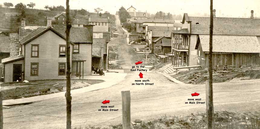
The mines were essentially abandoned before the turn of the century,
and the Kaul Clay plant burned in 1961. The railroads were gone before
1950, and after the Kaul Clay fire most of the remaining residents left
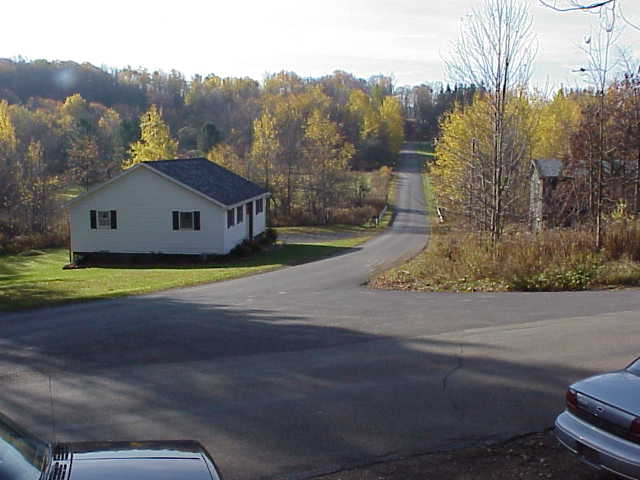
as well. Today camps outnumber homes. And the forest is regaining its hold
on what was once a bustling town.
-text courtesy of Clermont Historian
David Johnson
 Clermont
finds
its roots in the pioneer town of Instanter, founded
in 1809 and located just north of the town water well. It essentially
disbanded during the War of 1812 over fears of pro-British Indian uprisings.
Coal was discovered by a surveying crew here, and the port at East Smethport
was built to facilitate its shipment. Arnold Hunter moved from
Instanter to Smethport to become its first resident, and David Comes moved
into the Norwich area, producing the first white child born in McKean County.
Clermont
finds
its roots in the pioneer town of Instanter, founded
in 1809 and located just north of the town water well. It essentially
disbanded during the War of 1812 over fears of pro-British Indian uprisings.
Coal was discovered by a surveying crew here, and the port at East Smethport
was built to facilitate its shipment. Arnold Hunter moved from
Instanter to Smethport to become its first resident, and David Comes moved
into the Norwich area, producing the first white child born in McKean County.